2025 - Conservation Research, Debdou, Morocco
Project Details:
Location: Debdou, Morocco
Methods: GIS mapping, photographic documentation, condition assessment, spatial analysis, oral history interviews
Software: ArcGIS, Google Earth Pro, Excel database management
Partner organizations: World Monuments Fund, Moroccan Ministry of Culture, Aziza Chaouni Projects
Fieldwork period: November 2024 – January 2025
Team: Elizabeth Kostina (conservation report, historical research, survey analysis), Nada Benjannet (survey), Salwa Al Hejazi (GIS, project consultant, Aziza Chaouni Projects), Javier Ors Ausin (Project Manager, WMF)
Project Overview
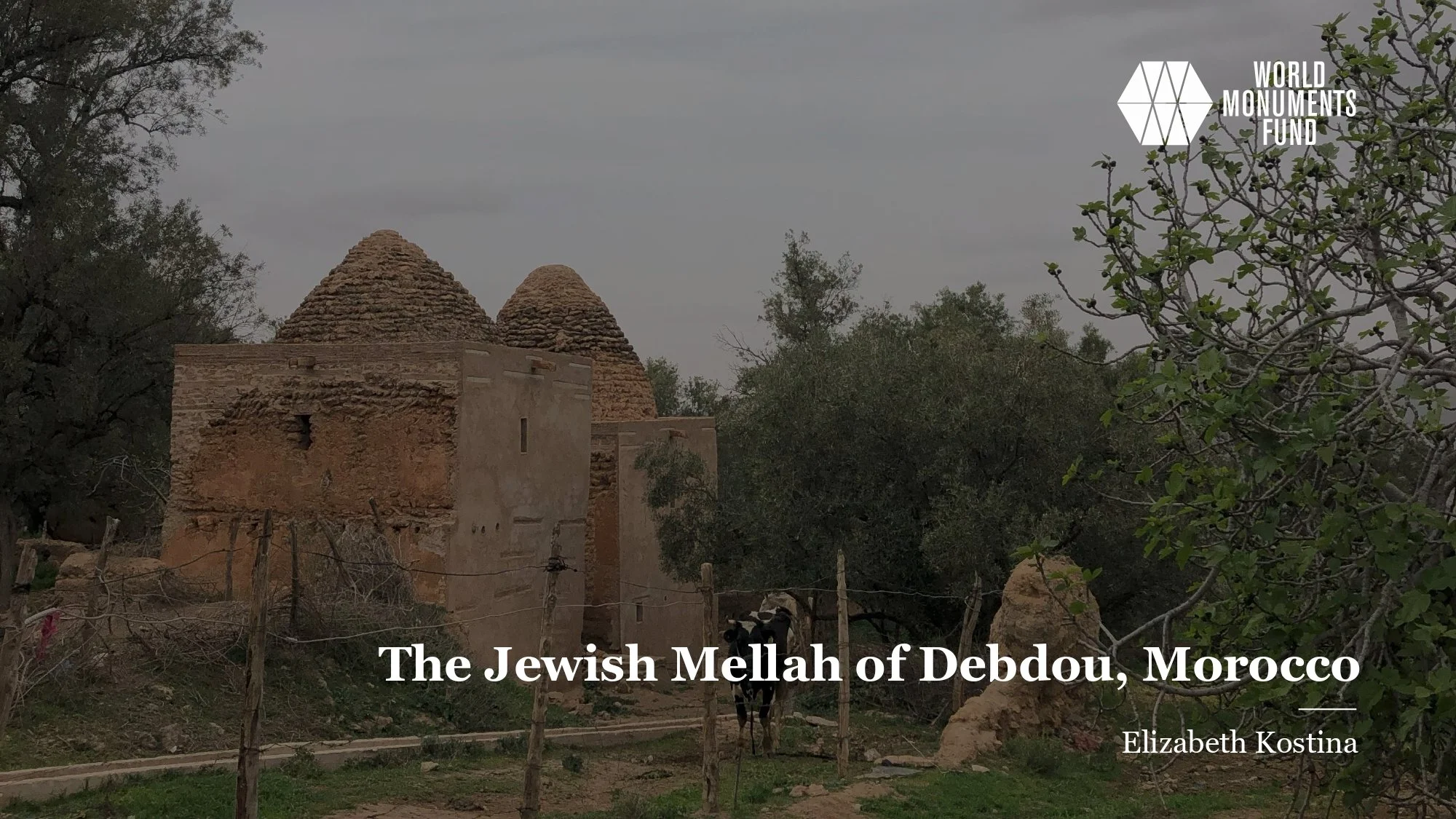
This project documents the historic Jewish Quarter (Mellah) of Debdou, Morocco, through systematic mapping, condition assessment, and spatial analysis. Located in northeastern Morocco near the Algerian border, Debdou's Mellah represents a significant example of Moroccan Jewish heritage now facing abandonment and deterioration.
A site on the 2025 World Monuments Watch, the project created a comprehensive digital survey of the Mellah's built environment, mapping 127 structures across approximately 6.5 hectares. The research examines how spatial organization, architectural typologies, and current conditions reveal the history of Jewish-Muslim coexistence in Morocco and the impacts of mid-20th-century emigration that left the quarter largely abandoned.
The Debdou Jewish community, which numbered over 1,000 in the early 20th century, has essentially vanished, leaving behind a dense urban fabric of courtyard houses, synagogues, ritual baths (mikveh), and commercial structures. The mapping work documents this material legacy while it still exists, as many structures face imminent collapse.
Historical Context
Debdou's Jewish community dates to at least the 17th century, with the Mellah formally established in the 18th century. The community grew to over 1,000 residents by the early 1900s, engaging in trade, metalwork, and textile production.
Mass emigration occurred in three waves:
1948–1956: Departure to Israel following the establishment of the state and Moroccan independence movements
1956–1967: Continued emigration as Morocco gained independence and regional tensions increased
Post-1967: Final departures following the Six-Day War
By 1970, fewer than 50 Jewish families remained in Debdou. Today, the community numbers fewer than 10 individuals, primarily elderly residents maintaining key religious sites.
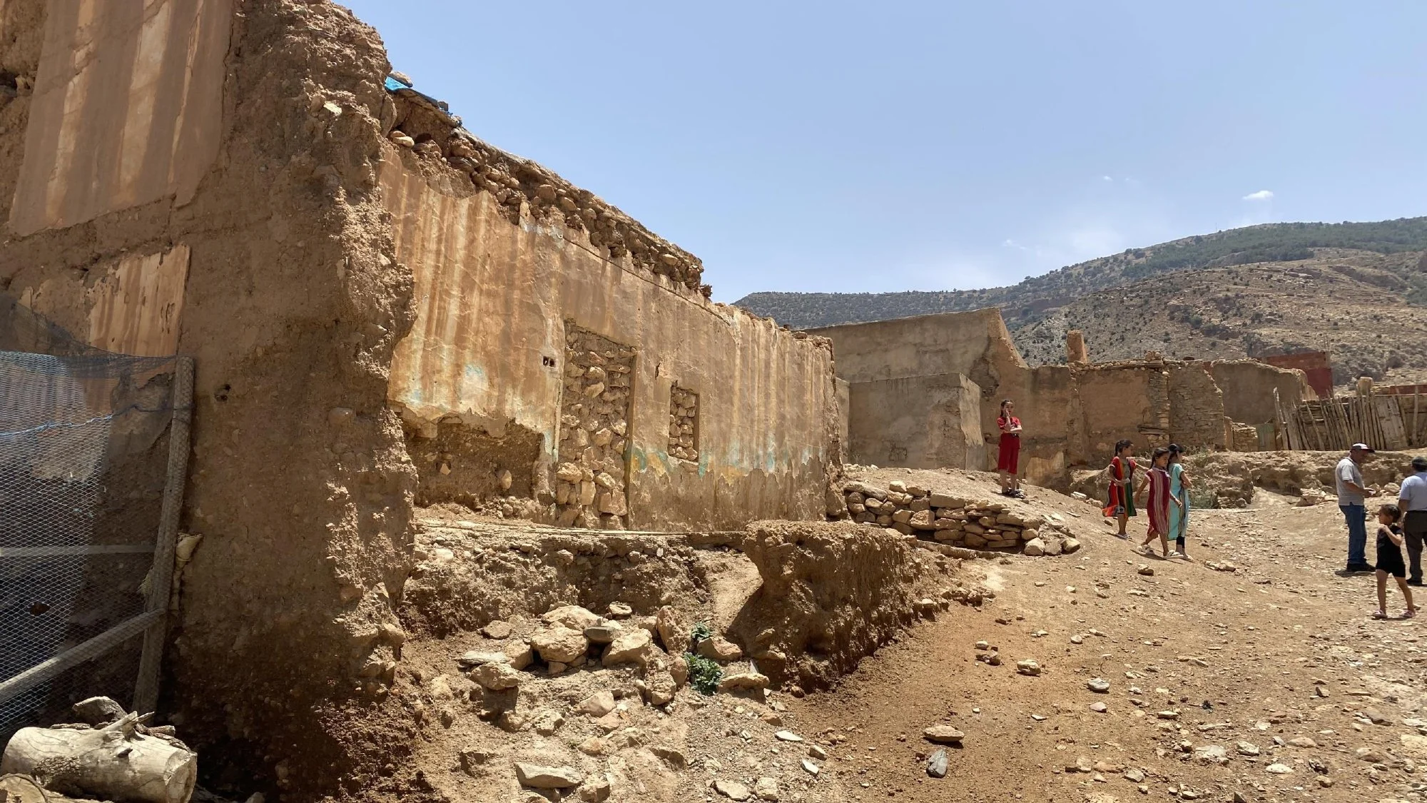
The spatial organization of the Mellah reflects both self-governance and segregation — Jewish communities maintained internal autonomy while being spatially confined to designated quarters. The dense, inward-facing courtyard houses provided privacy and security, with minimal openings to public streets.


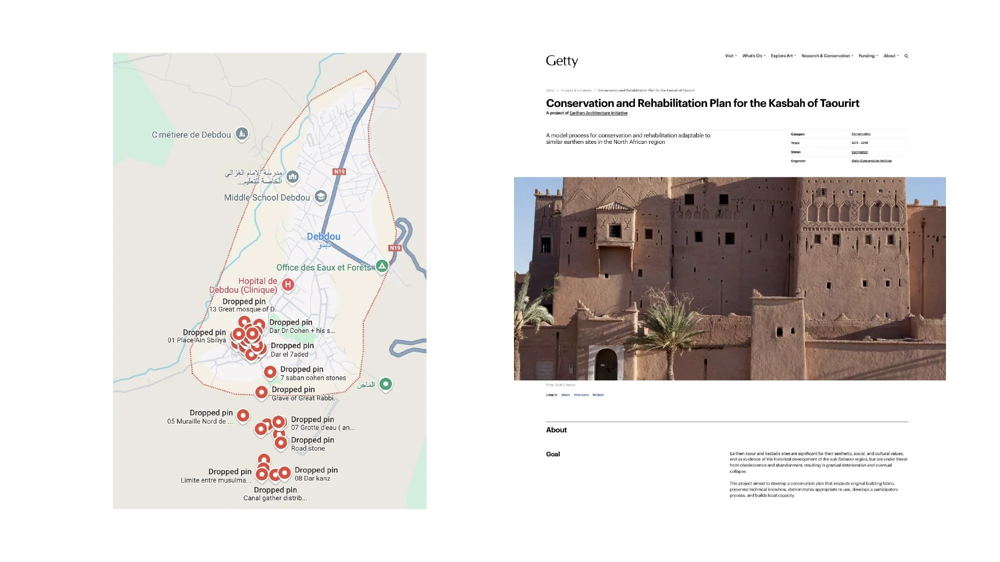


Mapping Survey
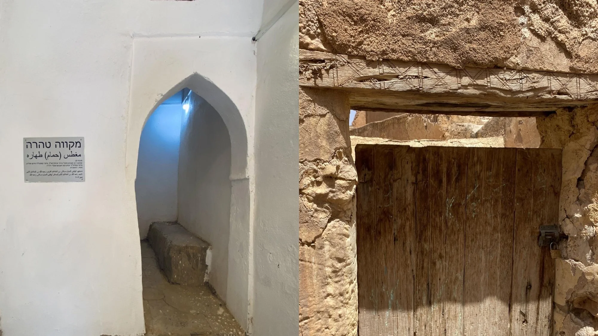
The project employed systematic field survey methods combined with GIS (Geographic Information Systems) analysis to create a detailed spatial database of the Mellah. Each structure was documented with location coordinates (latitude/longitude), structural condition (Good, Fair, Poor, Ruin, Collapsed), building typology (Residential, Religious, Commercial, Public, Mixed-use), number of stories, construction materials (primarily rammed earth, stone foundations, timber framing), specific features (courtyards, roof types, arcades, decorative elements), and current use (Occupied, Vacant, Partially collapsed, Storage, etc.). The survey identified specific heritage assets, including 5 synagogues in varying states of preservation, 2 mikveh (ritual baths), 1 Jewish cemetery, multiple courtyard houses with distinctive architectural features, etc,
Spatial analysis revealed a dense courtyard house typology organized along narrow, winding streets, with clear boundaries between the Mellah and adjacent Muslim quarters. Religious structures concentrate in the central area, with progressive deterioration from center to periphery, and patterns of structural collapse are concentrated in areas with poor drainage. Of the 127 structures documented, only 8 (6%) are in good condition, 23 (18%) are in fair condition, 41 (32%) are in poor condition, 38 (30%) in ruin, and 17 (13%) have collapsed. Over 75% of structures are in poor condition or worse, indicating an urgent need for intervention. The primary deterioration factors include water infiltration and inadequate drainage, erosion of rammed earth walls, structural failure of timber roof systems, vegetation growth destabilizing walls, and lack of maintenance due to abandonment. The most significant heritage structures show varied conditions: Slat Lkahal Synagogue is in poor condition with a partially collapsed roof, Ibn Danan Synagogue is in fair condition and actively maintained by remaining community members, and both mikveh (ritual baths) are in poor condition with water damage.